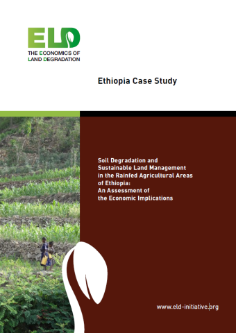
Ethiopia is known for its historic agriculture, but also for the associated, widespread, and ongoing land degradation. The older agricultural areas of the northeast have long been particularly affected, but the highest soil erosion rates are currently being observed in the western parts of the highlands. The processes of soil erosion and measures to reduce it have been researched extensively in Ethiopia since the 1970s; research activities include long-term monitoring of catchments and experiments of various spatial extents. On this basis of understanding and data availability, Ethiopia offered a unique setting for an ELD case study.
This case study provides a spatially explicit assessment of the extent of land degradation (soil erosion by water) and the costs and benefits of sustainable land management measures. The focus is on areas under rainfed cultivation. The unit of analysis is a pixel of 30 m by 30 m, in line with the resolution of the Landsat imagery used for assessing land cover. The case study area covers 600,000 km2 or about 54 percent of Ethiopia’s territory, more than 660 million pixels. Of the included pixels, about 239 million were identified as cropland, amounting to about 215,000 km2 – a surprisingly large area compared to the current statistics that indicate a grain crops area of approximately 123,000 km2. The dry lowland areas without rainfed cultivation were not considered in the analysis.


