
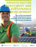
This paper Private Sector Investment and Sustainable Development seeks to provide the Financing for Development process with a perspective on the role institutional investors, companies, and foundations can play in the design and implementation of a financing strategy for global sustainability.
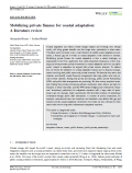
The role of private finance in meeting adaptation infrastructure investment needs has been widely emphasised in climate policy debates. This new paper Mobilising private finance for coastal adaptation: a literature review in WIREs Climate Change reviews the scientific literature on the issue.
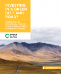
The report Investing in a Green Belt and Road? Assessing the Implementation of China’s Green Credit Guidelines Abroad examines seven case studies to assess Chinese's banks' compliance with the China's Green Credit Guidelines (GCG) in their overseas lending practices. In light of China's wide-reaching Belt and Road Initiative (BRI), case studies were selected from BRI related countries, including Afghanistan, Indonesia, Kenya, Russia, India, and Sri Lanka. These examples span across the pulp and paper, mining, energy, and infrastructure sectors. This report evaluates Chinese banks' implementation of the GCG based on the ChinaBanking RegulatoryCommission' s official Key Performance Indicators for green credit, which were published in 2014.
The paper Triggering the Trade Transition: The G20’s Role in Reconciling Rules for Trade and Climate Change explores options for the G20 to trigger a transition of the trade system towards a regime that is part of the solution to tackle climate change.
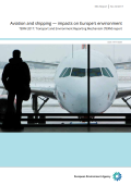
This Transport and Environment Reporting Mechanism (TERM) 2017 report Aviation and Shipping - Impacts on Europe's Environment reflects key similarities, opportunities and challenges between two transport modes important to the functioning of Europe's mobility system — international aviation and shipping.